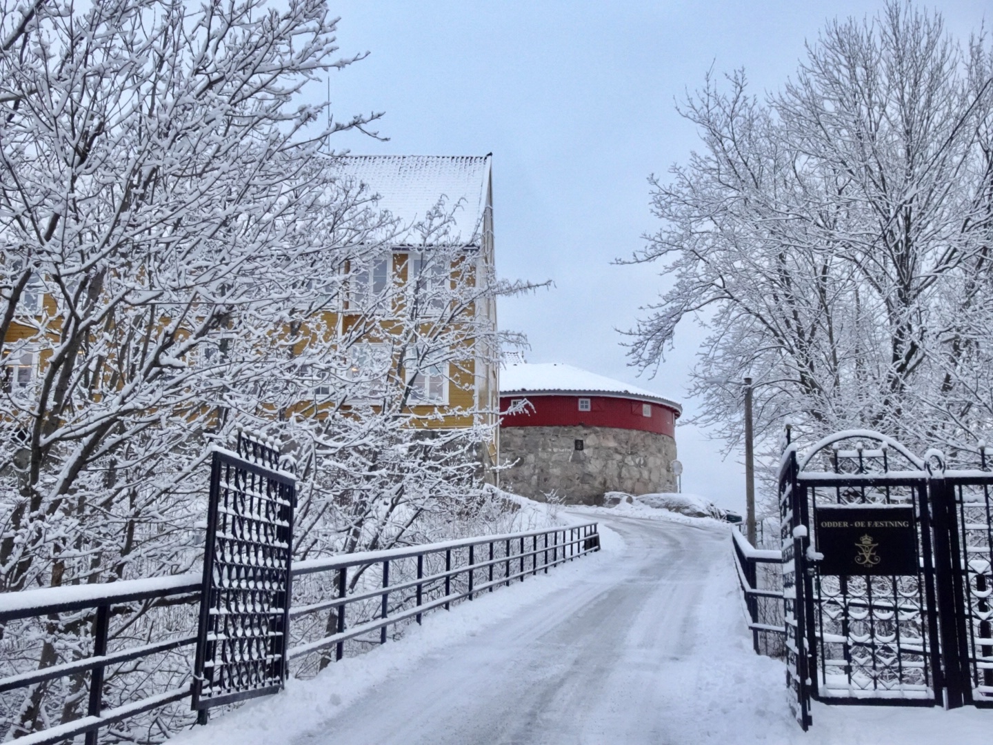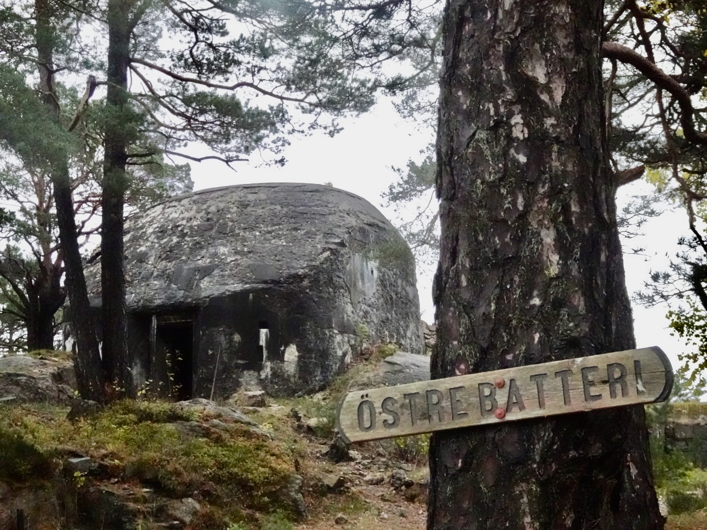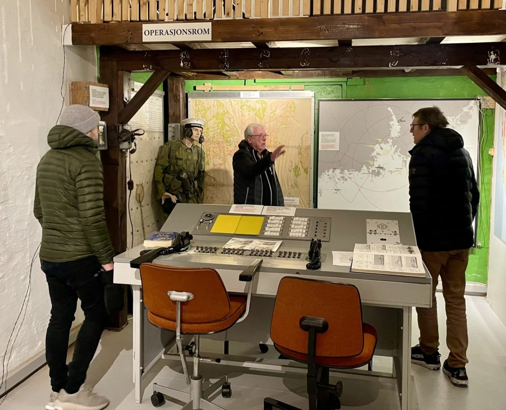
In connection with an extensive development of fortifications on Odderøya in 1902-04, a number of paths and roads were also built. Due to its dominant position in relation to the city and the harbour, Odderøya has, among other things, been a location for military activity from 1675 until recent times. The military area on Odderøya accounted for approximately 575 of the island's total 681 acres at the end of 2000.
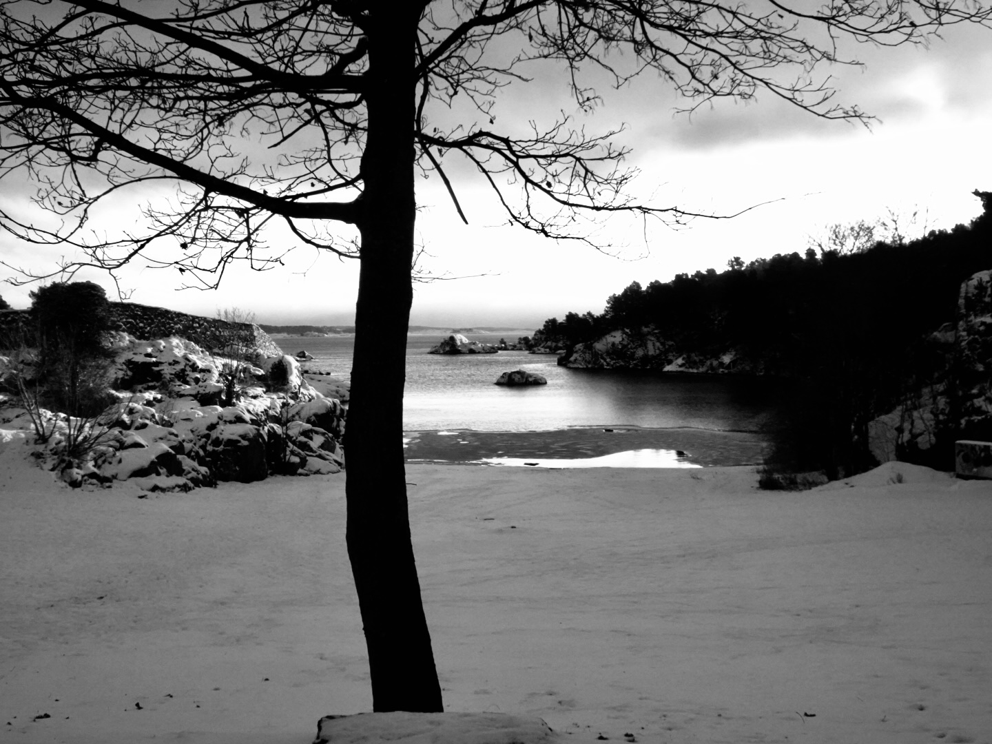
The vegetation on Odderøya mainly consists of deciduous forest and pine forest distributed in a very hilly terrain that slopes steeply up from the sea towards the top on the south-west side. The beach in the western part consists of steep rock formations, while the terrain from the middle of the island towards the city is gentler.
Animal life on Odderøya has not been rich in species, but for many years a deer tribe has lived on the island. The number of animals in the tribe has varied from time to time. Some years the local game board has allowed necessary felling, other years the tribe has been decimated due to illness. The story of a deer that left the island to go to the cinema was once good news in the local press. The animal that really came from Odderøya was caught in the entrance to the Aladdin cinema. Of other animals, salamanders have been observed in the former "Andedammen" - later called "Salamanderdammen" between Lasaretthøyden and Kommandantboligen, and in the dammed pond south of the island. Mink and otters have been observed on and around Odderøya. According to place name researcher Oluf Rygh, the latter animals are said to have given their name to the river Otra that flows into the sea at Odderøya. It is reasonable to assume that Oddernes and Odderøya both got their names from the name of the river. Incidentally, otters are called "odder" in certain areas of Southern Norway. What could be more natural when Odderøya was to get its coat of arms than to choose the otter as the motif?
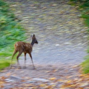
There are 7 deer on the island in the spring of 2024
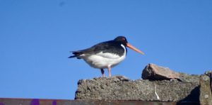
Bird life on Odderøya is very varied and rich. Most of our small birds are represented with the nightingale being the rarest. Of the larger species, we can mention char, tiur, (1950s), woodpecker, owl, pigeon, jay, magpie, crow and seabird.
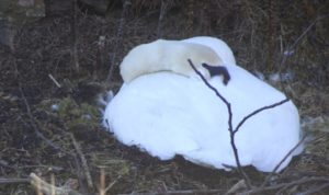
swan on nest
tent
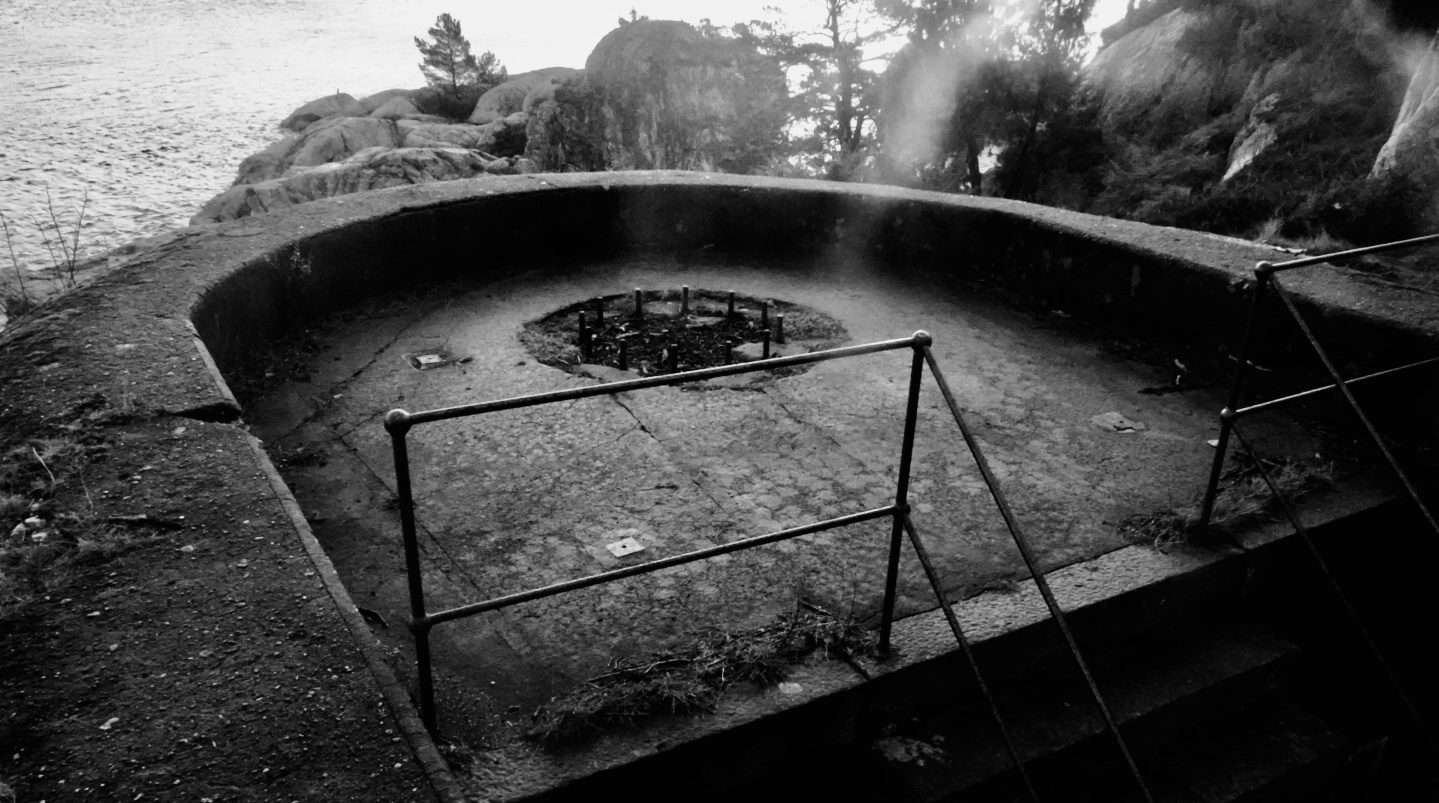
Highest point on the island is "Toppen", which is 96 meters above sea level. From this place there is a magnificent view of the entire approach to Kristiansand, the harbor itself and the surrounding archipelago. It is not surprising that in 1895 the Kristiansand and Oppland Tourist Association set up a lookout tower for hikers who made their way up to the island's top. Odderøya was at this time a popular getaway for the city's population. This lasted until 1939 when World War II broke out, only limited by restrictions related to the area around the cannon batteries that were built around the top of the island in the period 1902-04.
Another popular outing was Peisestua, which was unfortunately demolished in the 1970s.
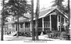
Exterior of the fireplace room from Stein Nygård's postcard collection
It was located on the west side of the island and below the officers' mess. In the pre-war period, the fireplace room was used by the city's associations for meetings and dances.
The settlement on Odderøya was for a long time very sparse and limited to a small farm with a few livestock. The landscape on the island did not invite agriculture on any large scale. After the Quarantine Service took over the island in 1807, 4-5 buildings were built on the hill in the northeast of the island. The hill was later named Lasaretthøyden after the two large buildings that constituted the quarantine station's lazarettes. The buildings were built of wood in the period 1800-1804. After the quarantine activities ceased, the lazarette buildings were used for soldier accommodation in 1914-18, family homes in 1945-70 and offices for military departments in 1960-2000. At the foot of Lasaretthøyden, 2 family homes were built for quarantine personnel, including the quarantine inspector. Several of the inspectors who rotated through the service until the quarantine station was closed in 1914, farmed the land on Odderøya. One of the quarantine personnel's homes was demolished in the late 1950s, while the last was demolished as late as 1976/77.
Written by Arvid Svein Marthinussen and Kåre Steinsland.
Source: "The Naval Defense at Agder 1945-2000", Norwegian Journal of the Navy 2003.
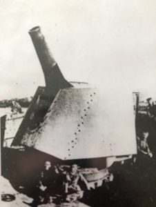
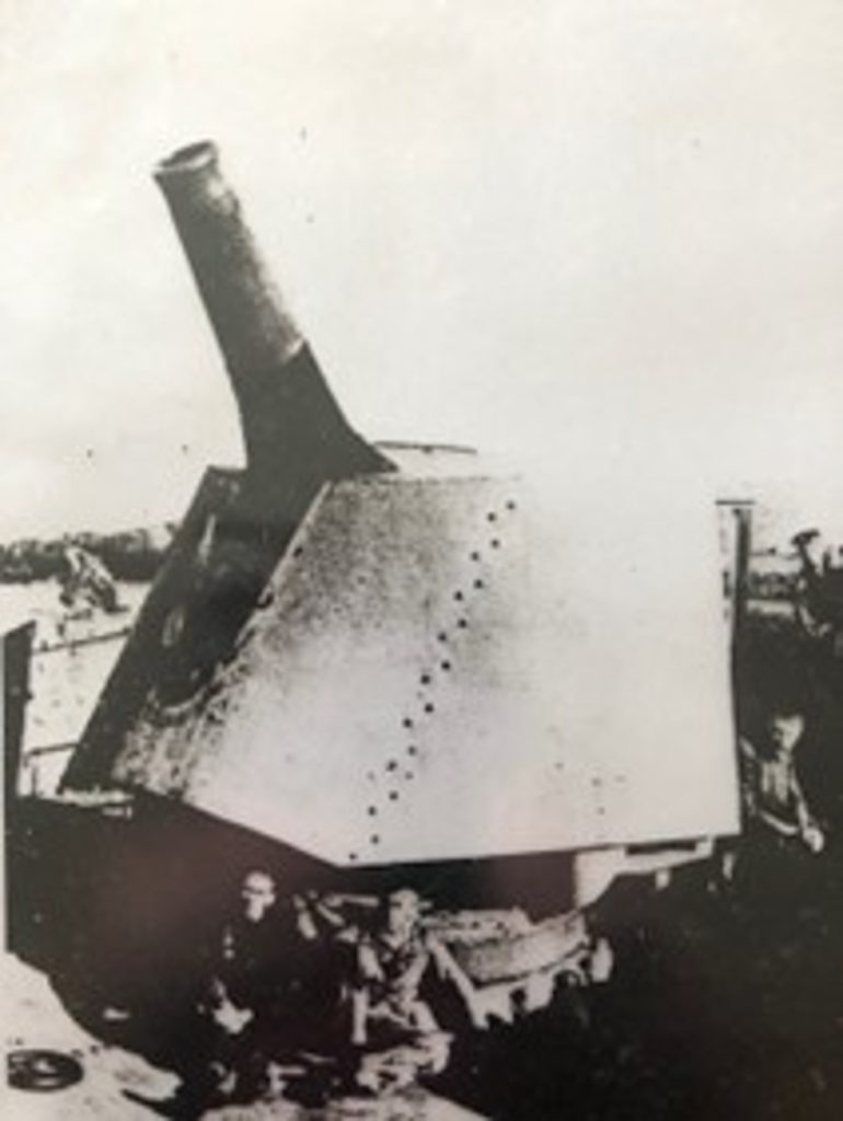
24 cm howitzer cannon on Odderøya

10.5 cm SKC/32
Exterior of the fireplace room from Stein Nygård's postcard collection
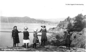
View from the fireplace living room area. Lagmannsholmen can be seen a little to the right and Duekniben on the other side of the city fjord